The mountain wall between Istria and the Kvarner Gulf, with the highest point of the peninsula and a stone tower on top. A practical guide to walking on Učka.
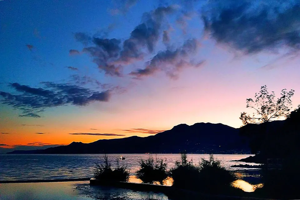
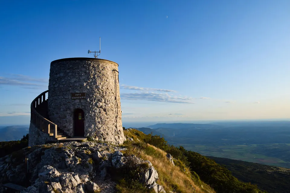
From almost anywhere in eastern Istria, and from the whole of the Kvarner coast, one mountain fills the horizon. Učka rises steeply from the sea above Opatija and Lovran and falls more gently on its western side into the green interior of the peninsula. Its highest summit, Vojak, is the highest point of Istria, and from its stone tower the view takes in the islands of Kvarner, the city of Rijeka, much of the peninsula and, on the clearest days, mountains far to the north.
Since 1999 the mountain and the neighbouring part of the Ćićarija plateau have been protected as Učka Nature Park. It is a place of beech forests, limestone rock, high meadows and wide views, and it offers some of the best walking in the region, close to both the coast and the Istrian hill towns.
Why hike on Učka?
Few places combine sea and mountain so closely. You can start a walk among laurel and chestnut trees just above the Kvarner shore and, a few hours later, stand on a windswept ridge with the whole gulf below you. The contrasts are part of the appeal: Mediterranean on one side, almost alpine on the other, with forests that stay cool in summer and turn gold and copper in autumn.
The mountain is also rich in plants. Učka is home to Tommasini's bellflower, a small blue flower found only in this area, and to many other species that grow in the cracks of its limestone. In spring the meadows near the summit are full of colour.
How to reach Vojak
From the Kvarner coast
The classic ascent starts from the coastal villages around Lovran, Ika or Ičići and climbs through chestnut and beech woods to the ridge. These are serious hikes with a large height difference from sea level, and they take most of a day there and back. The reward is the sense of having climbed the whole mountain from the sea, and the view down to the coast where you started.
From Poklon pass
For a shorter walk, drive up the old mountain road to Poklon, a pass with a park visitor centre and a mountain lodge. From there, marked paths lead through the forest and over open slopes to the summit. It is an easier hike, suitable for most reasonably fit walkers and older children, and gives you the same view from the top.
By road to just below the top
A narrow road continues almost to the summit area, where there is also a radar and transmitter installation. Those who cannot walk far can drive most of the way and take the short final path to the tower. Check road conditions first, especially outside summer; the road can be closed in winter or in bad weather.
Few places combine sea and mountain so closely: Mediterranean on one side, almost alpine on the other.
Vela Draga: a canyon of stone pillars
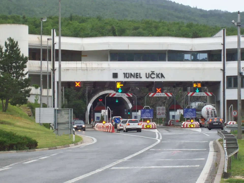
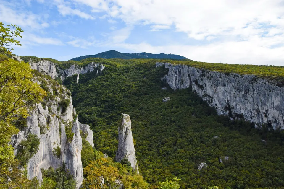
On the western side of the park, above the road from the Učka tunnel towards inland Istria, the Vela Draga canyon is a dramatic valley of limestone towers and pillars carved by erosion. An educational trail leads along its edge with viewpoints over the rocks. It is a shorter outing than the summit and a good addition for anyone interested in geology, birds of prey or simply unusual landscapes.
When is the best time to go?
Late spring and autumn are ideal: comfortable temperatures, flowers in May and June, and beautiful colours in the beech forests in October. Summer hikes are possible, especially from Poklon, but start early to avoid the heat on the open slopes and the afternoon storms that sometimes form over the mountain. In winter the summit can have snow and ice, and the bura wind can be strong and very cold on the ridge.
Weather on Učka changes quickly. The mountain often catches clouds while the coast below is sunny, and fog can roll in within minutes. Always check the forecast and be ready to turn back if visibility drops.
Good to know before you hike
- Trail markings. Paths in Croatia are marked with a red circle with a white centre; follow them and the signposts at junctions.
- Footwear. Proper hiking shoes; limestone paths are rocky and slippery when wet.
- Water. Carry enough for the whole walk; there are few reliable sources on the ridge.
- Layers. It is noticeably cooler and windier on top than on the coast, even in summer.
- Map. Take a hiking map or an offline map app, and tell someone your route.
- Park rules. Stay on marked paths, take your litter home, and check the nature park's official information for current conditions.
Combine it with the coast or the interior
A hike on Učka fits easily into a holiday in Istria. Descend to the Kvarner side for a swim and dinner in Lovran or Opatija, or head west into the interior for a konoba lunch and a walk around a hill town. For more high places with long views, see the best viewpoints in Istria, and for choosing the season, our guide to Istria month by month.
Standing on Vojak, with the islands spread across the sea and the whole peninsula behind you, it is easy to understand why Učka matters so much to the people of Istria and Kvarner. It is the mountain that frames their view, and the one place where they can see everything at once.